Cities: Skylines

Cities: Skylines

333 ratings
Realistic City Layout from all over the World
By YoongZY
The guide that opens your brain to the whole wide world, instead of just building grids everywhere you can.
6
2
3
9
2
3
2
2
   
Award
Favorite
Favorited
Unfavorite
Introduction
This guide is all about cities layout from cities we're living in. Many players are still struggling with building road layouts and hierarchy, grids or no grids, me too. Why there's only grids in your brain? There're tons of cities for us to figure out and take as an inspiration for your build in Cities: Skylines, then why you don't? Here we are going to travel all around the world and discover which kind of layout is your favorite!
What is City Layout
City layout is an organized arrangement or laying out (as of the streets, parks, and business sections) of a city with a view to general convenience, attractiveness of appearance, and the encouragement of healthier living.

As for Cities: Skylines, city layout just simply means how the road looks and where buildings and trees located. Nothing special, but just make sure no traffic congestion and look nice when zoomed out.

Planning city layout is important not only the expansion of residential areas & urban sprawls, but also ensures good transportation, health care, urban design, sustainable development by means of master plan. Thus, the city will grow rapidly without having negative impacts on its built environment, economy and citizens.

I'm keeping this guide as simple as possible.👍

Disclaimer: We're only going through the most common road layouts around the world
American Style Grids
Let's start with the Great American Grids. They're simple, just as you thought.

American grid contains of grid-looking local roads with each ends connected to the collector road border. Most of the arterial roads are parallel to the collectors, but there're some that go across all the grids at a different angle, or just follow the terrain or shoreline. Here's a diagram 👉

Advantages:
  • Provides easy and orderly layout for services
  • Better public transport coverage and accessibility
  • More organized zoning for each plot of land
  • More easier in managing and navigating
  • Lower cost with more zoning tax income (sometimes)
Disadvantages:
  • Driver friendly, not pedestrian and cyclist friendly
  • Too many junctions everywhere, slows down traffic
  • Cause gridlocks in smaller grids (sometimes)
  • Cause traffic problems if too many high density RC around
  • Simply looks boring
How to Build American City Layout
  1. Draw a nice, long and straight arterial road across the piece of land. Connect it to the most ideal service interchange with a nice big junction, remember NO roundabouts. Yes, you can twist the arterial road the way you like, but not too much.

  2. Expand out the networks 90° outward with collector roads. Utilize the vanilla angle snapping tool to make your life easier. Make it as far as you need, you can connect it to another arterial road if you like.

  3. Carefully build your coastline network with small roads or nice avenues. RESPECT the terrain. Build as long a you want, additional quays make your downtown more realistic.

  4. Now is the fun time. Build your grids and don't forget to twist when you can't control your naughty mouse. Wide or narrow, choose it yourself.

  5. Zone and beautify your city wisely.
Cities that are Utilizing American Layout
Below are cities that are using this layout (click on the link to view map to get inspiration):

New York City[earth.google.com], USA

Los Angeles[earth.google.com], USA

Melbourne[earth.google.com], Australia

Kyoto[earth.google.com], Japan

Hong Kong[earth.google.com], China

Johannesburg[earth.google.com], South Africa
European Style Sprawl
Now we're heading to Europe, it's really just a mess.

European city layout usually contains of messy-built local roads that simply connected to the collector roads in any angle. Dead end roads are quite often to see in some part of a European city, mostly are cul-de-sacs. Some parts are looking like grids but not exactly grids. Collector roads are simply straight all over the city and connects to the straight arterials. Last word, mess. Here's a diagram 👉

Advantages:
  • Less junctions on wider roads
  • Pedestrian and cyclist friendly
  • Lower traffic using local roads
  • Shorter routes for vehicles in some cases
  • More green spaces available in the city
Disadvantages:
  • Hard to plan and build
  • Cost more but low taxes(sometimes)
  • Hard to plan public transport routes
  • Hard to build larger buildings
  • Simply looks like a mess
How to Build European City Layout
  1. Build a nice and straight arterial road for about 50-70 units long, then build another one from any other angles and connect it to the last built arterial road. Repeat and repeat until you reached about 30-40 units away from any terrain obstacles.

  2. ROUNDABOUTS! Using Roundabout Builder mod saves you time. Do it at the big arterial junctions built before, not everywhere, and not too small.

  3. Draw a nice avenue along the coastline, as close as possible, RESPECT the terrain. Quays form Bridges and Piers CCP work well in European downtown.

  4. The most boring time. Simply draw the collector roads in the holes between the roads built before, make sure it's as straight as possible. Remember, ANGLES are king.

  5. Repeat step 4 but with smaller local roads, but now you can slightly curve it the way you want, not too much. Cul-de-sacs look nice too in suburban area. Make them more like pathways rather than roads.

  6. Zone and beautify your city wisely.
Cities that are Utilizing European Layout
Below are cities that are using this layout (click on the link to view map to get inspiration):

London[earth.google.com], United Kingdom

Paris[earth.google.com], France

Berlin[earth.google.com], Germany

Amsterdam[earth.google.com], Netherlands

Rome[earth.google.com], Italy

Saint Petersburg[earth.google.com], Russia
Asian Style Blocks
Welcome to Asia, where Europe meets America.

Asian city layout always contains of semi-grid looking residential zones everywhere and a few connections connecting to the collector roads. Because of higher population density, collector roads usually look like arterial roads. However in the city center, the road layout is almost the same like European city layout but with messy local roads connecting to messy collectors and arterials in a specific angle. Here's a diagram 👉

Advantages:
  • Wider roads, lower traffic
  • Public transport friendly
  • Higher green places availability
  • Lower traffic inside residential area
  • Higher connection to arterial roads
Disadvantages:
  • Cost much much more (sometimes)
  • More harder to plan and build
  • Large junctions might cause traffic
  • Highway all around the city, noise pollution
  • Simply more like a mess
How to Build Asian City Layout
  1. Build a nice elevated highway across a big plot of land, curve it the way you want. Create an effective service interchange in a strategic location, as compact as possible.

  2. Now draw a nice, wide and slightly curved arterial road across the land. Repeat until it covers up most land with 100 units or more apart. Make some roundabouts in junctions that're too big.

  3. Draw a nice avenue along some coastline with 5-10 units away from the water, RESPECT the terrain. Reserve some of that spaces for a nice coastline park for your cims to jog.

  4. Build some collector roads out from the arterials and make sure they have a grid-y order, not too grid though, use your imagination. Leave a nice and big gap between them where all your zones are located.

  5. Geometry time. Build a nice quadrilateral-shaped local roads in those gaps 2-9 units away from the collectors or arterials. Make some semi-grid networks inside the local roads where housing will be. For commercial, make some smaller but longer grids; For industrial, draw it according the size of your factories.

  6. Zone and beautify your city wisely.
Cities that are Utilizing Asian Layout
Below are cities that are using this layout (click on the link to view map to get inspiration):

Shanghai[map.baidu.com], China

Chongqing[map.baidu.com], China

Beijing[map.baidu.com], China

Singapore[earth.google.com], Singapore

Seoul[earth.google.com], South Korea

Kuala Lumpur[earth.google.com], Malaysia
African Style Remote
At last, don't forget about African outskirts villages layout.

African villages are mostly dirt everywhere with narrow dirt roads, no traffic congestion and noise pollution at all. A bunch of green spaces in every corner of the city; not city, village. Houses are all low residential and farming fields everywhere around the village. This is how your starting city looks like. Here's a diagram 👉

Advantages:
  • Very very very ecological
  • Very very very low cost
  • Very very very pedestrian friendly
  • Flexible road layout for buildings
  • No traffic congestion at all
Disadvantages:
  • Low speed limit, not driver friendly
  • Hard for services to do their job efficiently
  • Low economic value
  • Low population growth
  • Simply looks cheap
How to Build Remote Areas Layout
  1. Search it on your favorite search engine for a nice road layout picture or diagram. Zoom in the image in case your eyes are failing after hours of gaming.

  2. Build it the way you like according to the image.

  3. Zone and beautify it wisely.
Cities that are Utilizing African Layout
Below are cities that are using this layout (load a new save and there's it):


Your City's farming district
Conclusion
These layouts listed above are the most common layout in the world. Each city has it's own characteristics, and are all different from every aspect. They're all unique.

Just make your own conclusion. Which layout do you prefer and which you want to try first? Tell me in the comment section below!

Credits to all that provide those pics for this guide

Check out other guides made by me:
Realistic Zoning for Realistic Cities in C:S
Realistic Ways to Utilize Trees in C:S
CHIRP List

And also check out this YT video by Imperatur:


Rate this guide if you're liking it.
Have a nice day! 😉👍
38 Comments
YoongZY  [author] 30 Nov, 2022 @ 11:00pm 
@Margaret River interesting indeed. Now that's realistic and perfect!
Margaret River 30 Nov, 2022 @ 6:28pm 
Melbourne is definitely a brilliantly designed layout - really suits CS as the zones are clear yet a bit eclectic, there's all manner of Transport and trade routes; plus a zoo, airport and parks complex right next to an iconic stadium
Ricebug 28 Nov, 2022 @ 6:34pm 
I spent 6 years in Tokyo. As inventive as the Japanese are, they suck at traffic management. Traffic lights are not timed. You have to pay a toll every 8 or 10 kilometers. Once you get off a freeway, there is no way to get back on. The roads are mainly paved horse trails that meander everywhere except your destination. I've never been to a place where a mile from home equals totally being lost.

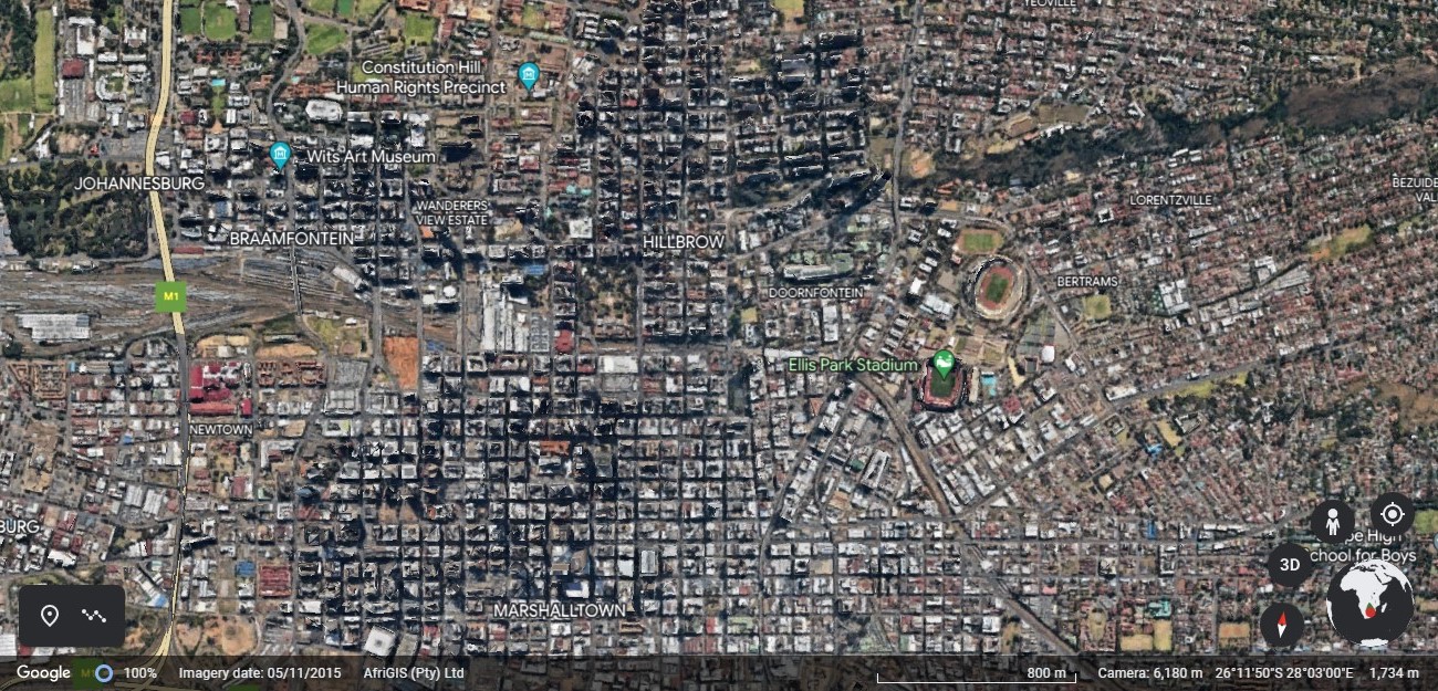
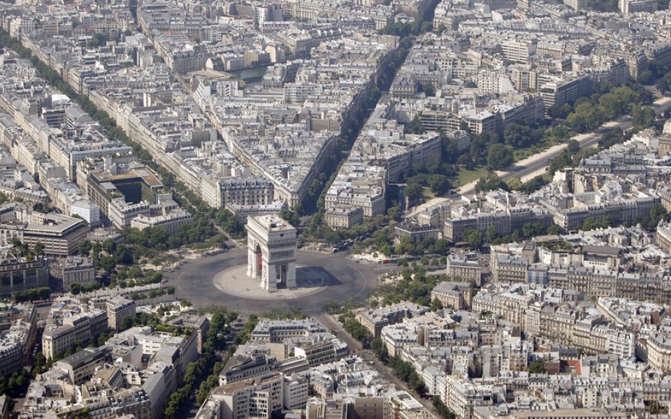
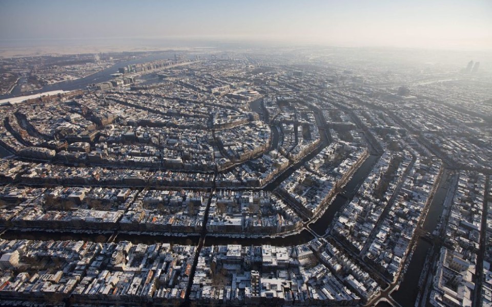
Oh, and before I forget, they give the same name to different streets. You think I'm exaggerating until you spend hard time in the city.
mila 3 Sep, 2022 @ 4:59pm 
@LJ Tech
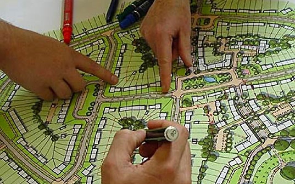
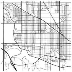
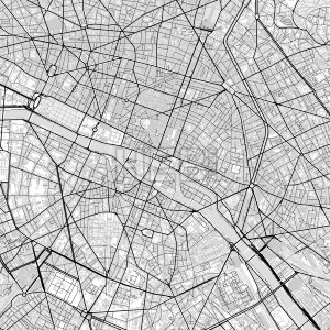
the american grid actually has nothing to do with the transportation system of the time (since most american cities have grids that predate the automobile) and everything to do with land usage and subdivision. simply put, rectangles are easier to subdivide and develop -- especially considering that much of the american interior is not constructed on the foundation of a pre-existing community.
Cyonica 7 Jun, 2022 @ 4:20pm 
Europe layout is so pleasing to the eye.
FlannelguyDan 17 Jan, 2022 @ 8:04pm 
perhaps add American Suburb, or some special cases, like master-planned cities with unique layouts or examples of a layout that combines different systems
Ing. Peto, PhD. 7 Jan, 2022 @ 9:48am 
For European city you forget the historical center. It is visible from top view, mostly has different layout, it is semi circular with huge road around it (place of old fortifications). Look at even small cities like here in Slovakia - Trnava, Levoca, Kosice, Nitra...
YoongZY  [author] 3 Jan, 2022 @ 6:17am 
@LJ Tech Good explanation, impressive!
LJ Tech 3 Jan, 2022 @ 5:58am 
Interesting, there's historical significance to many real world road layouts, the "wheel and spoke" layout you see quite often in Europe is largely due to the fact that the road networks were built when horse drawn carriage and foot traffic were the most common, in those situations having the shortest possible route to get to certain key places in the city was ideal.

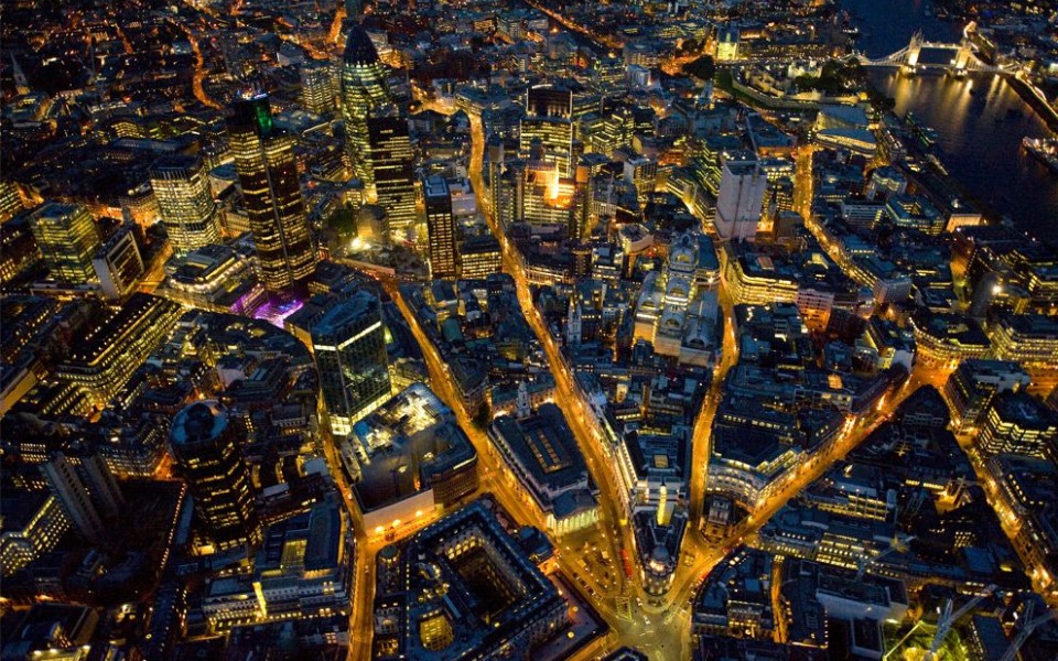
Many American road systems were designed in the early days of the automobile, as such many were designed to be car friendly, but unfortunately not mass traffic friendly (as there really wasn't much traffic in the early 1900's).

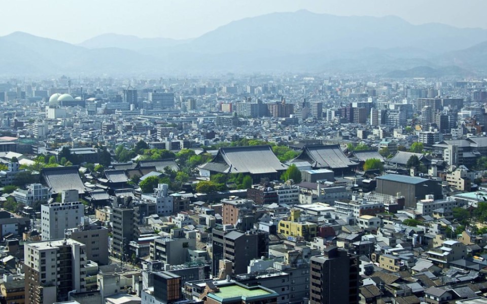
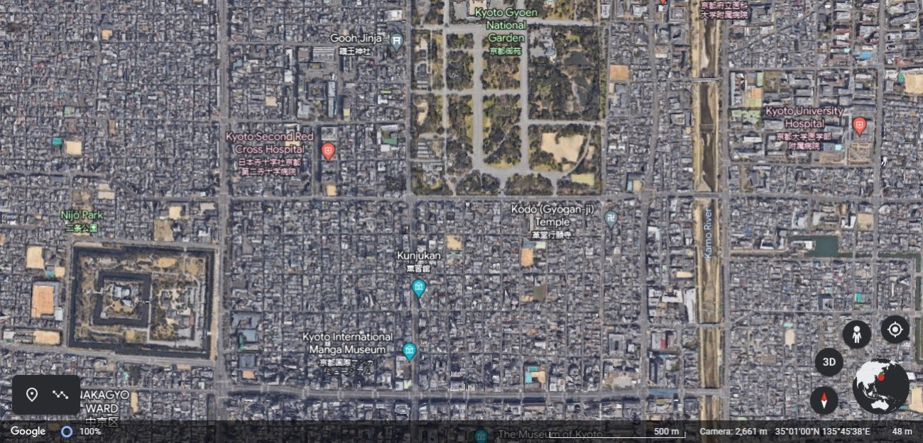
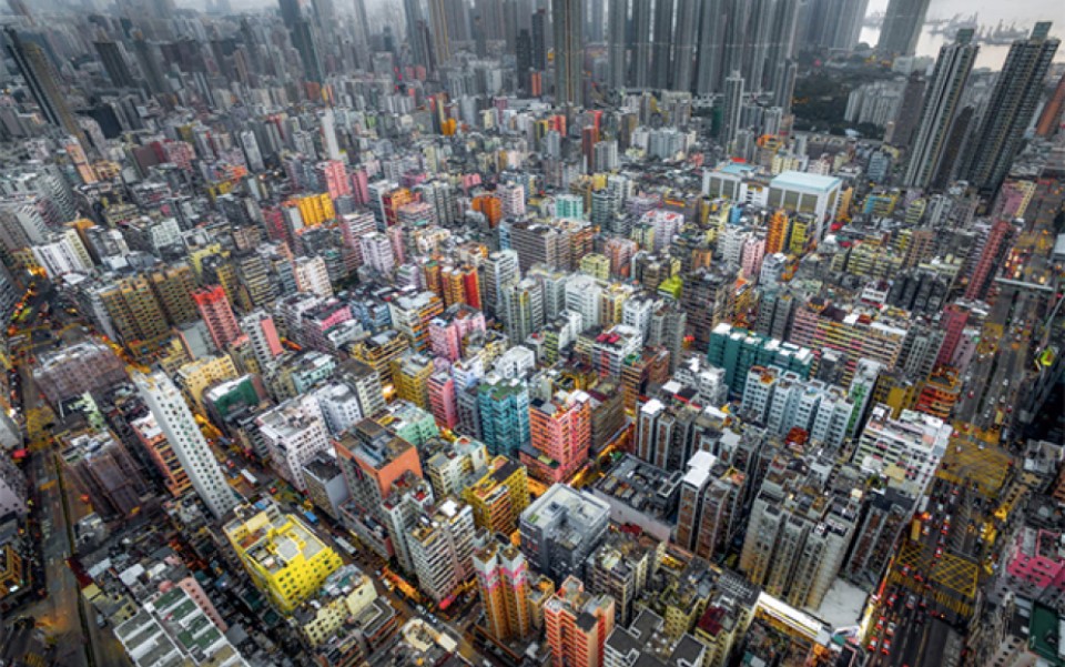
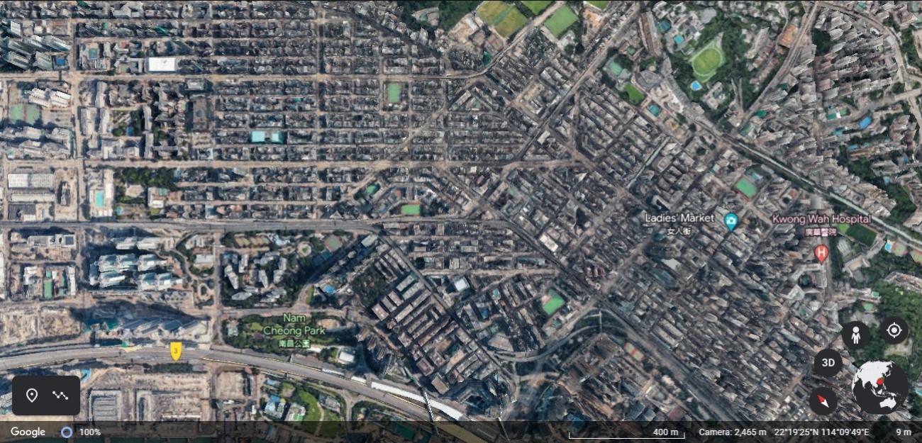
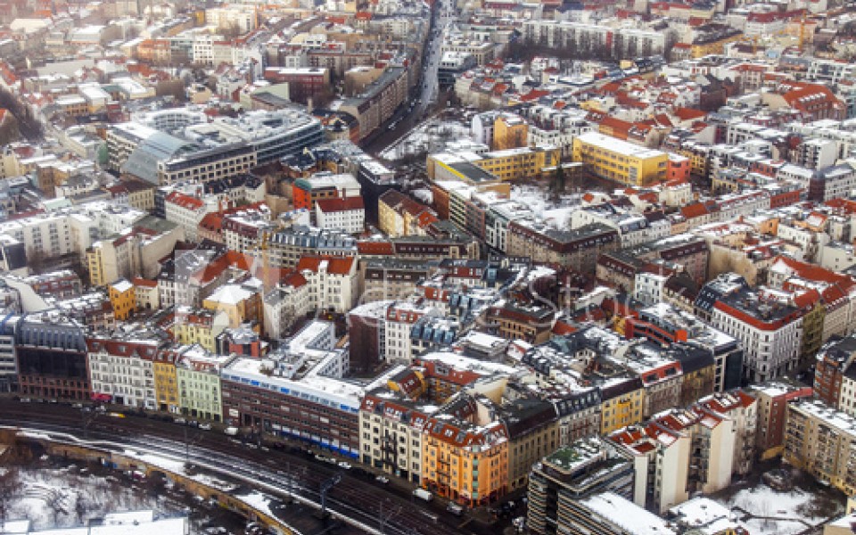
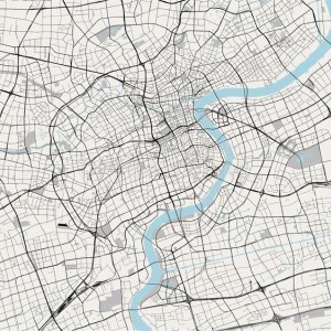
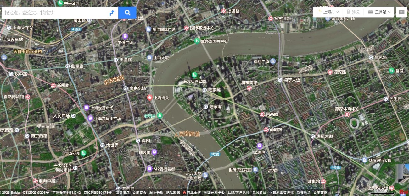
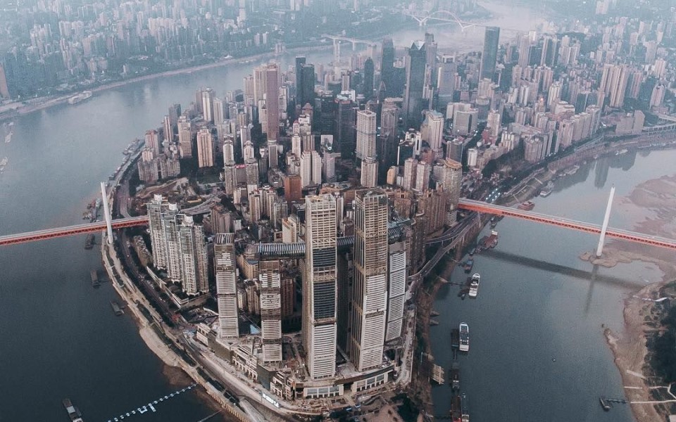
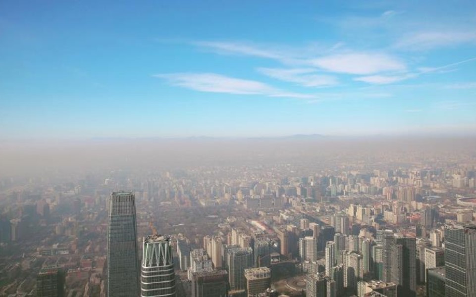
Asia being the most recent to mass automotive ownership has had the benefit of seeing where everyone else went wrong and being able to improve on it. But they also have the highest population density in the world, which presents a totally different challenge, in America the empty spaces allow for a lot future expansion space/planning.
LJ Tech 3 Jan, 2022 @ 5:53am 
Also "Eminent Domain" is a major missing piece of cities skylines in general, in America the cost is probably 10x more at least to build a road through an existing house, between buying out the home owner, land reclamation, tearing down the existing structure, and all the extra legal work involved. In Cities it's really just "drag a new road through here with no consequences what-so-ever", granted there are probably countries out there that have relaxed land owners "rights" to be able to do this as well, not places I'd want to own a property however.